Hike San Jacinto Peak from the Palm Springs Tram: Step-by-Step Trail Guide & Tips
Disclosure: This post includes affiliate links to products I use and recommend. As an Amazon Associate, I earn from qualifying purchases, which helps support Live Fit Magazine at no extra cost to you.
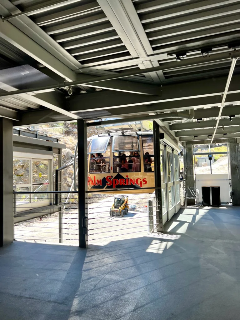
Riding the Palm Springs Aerial Tramway from the desert floor into the cool alpine forest feels like stepping into another world. From Mountain Station, the hike to San Jacinto Peak packs big views and a solid workout into a single day—exactly the kind of active travel adventure John and I love. Expect an 11–12 mile round trip with about 2,620 feet of elevation gain and a summit at 10,834 feet. Whether you’re celebrating a milestone hike (like we have done for my birthday) or simply craving crisp mountain air, this guide walks you through every step—from tram logistics and permits to packing and timing tips for a smooth, unforgettable summit day.
Key Facts & Tram Logistics for a Smooth San Jacinto Summit Day
Even if the desert cooks, there’s a drastic temperature difference once you reach Mountain Station. That’s why we often hike San Jacinto in July—it’s significantly cooler at the top. The tram climbs thousands of feet into Mount San Jacinto State Park in minutes. Bring extra layers, even in the fall.
Buy tram tickets ahead when possible, and plan for a parking fee. Weekend and holiday lines can be long. Check current hours, prices, and rules on the official Palm Springs Aerial Tramway hiking page. As of this writing, July offers U.S. military personnel free admission, and their guests receive a 25% discount.
Aim for one of the first trams up. If the last tram down is 8 PM, plan to be back at Mountain Station by 7 PM. A one-hour buffer keeps stress low. You don’t want to be rushing up that steep concrete path to the station at the end of your hike.
Permits are required and available 24/7 at the Long Valley Ranger Station. Fill one out, leave the original, and keep the carbon copy in your pack. Dogs are not allowed, and drones are typically restricted.
Check the weather before you go. As of early November 2025, conditions are cool and dry at the summit with light winds—but icy patches can linger after cold nights. You can check the San Jacinto Trail Report for real-time forecasts and safety updates.
San Jacinto Summit Stats at a Glance
- Distance: 11–12 miles round-trip from Mountain Station
- Elevation Gain: ~2,620 feet
- Time: 5–6 hours of hiking time, plus breaks
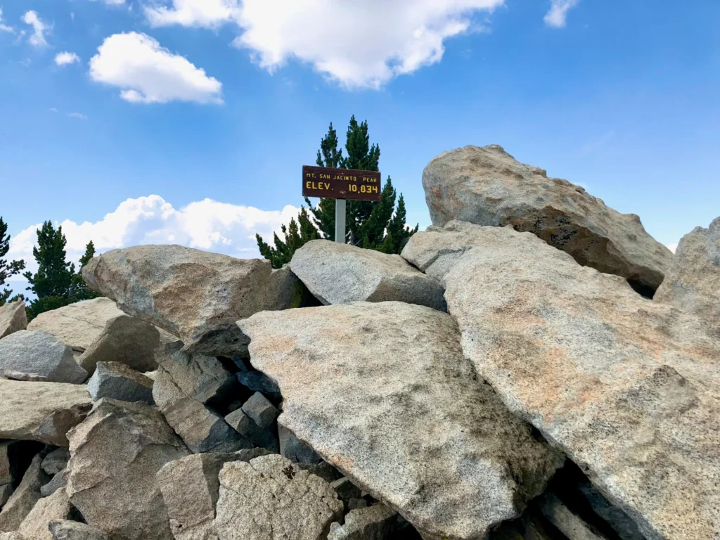
- Summit Elevation: 10,834 feet
- Difficulty: Hard, steady climb with altitude
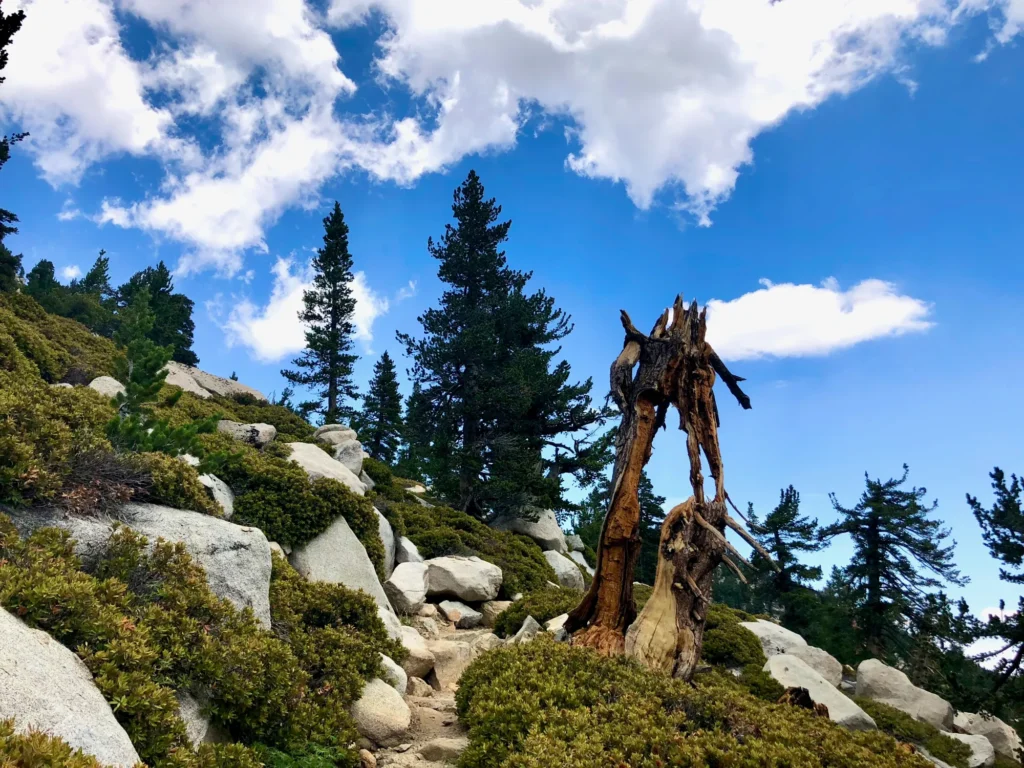
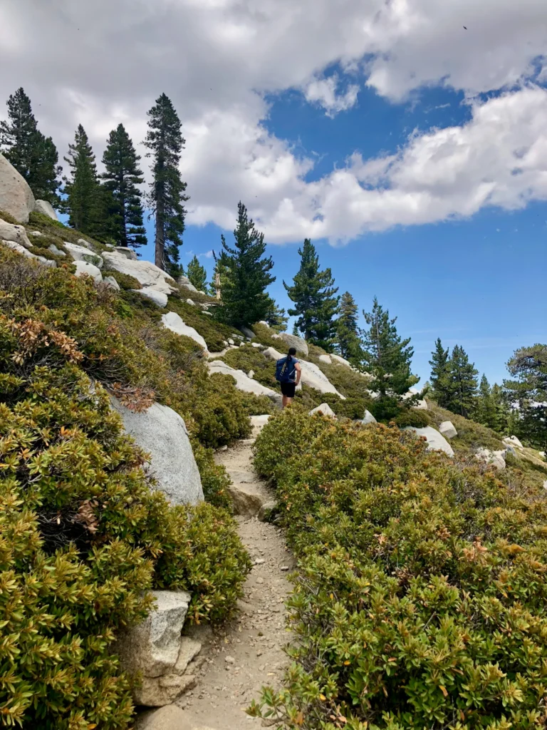
- Trail: Well-marked, rocky, and steep near the top
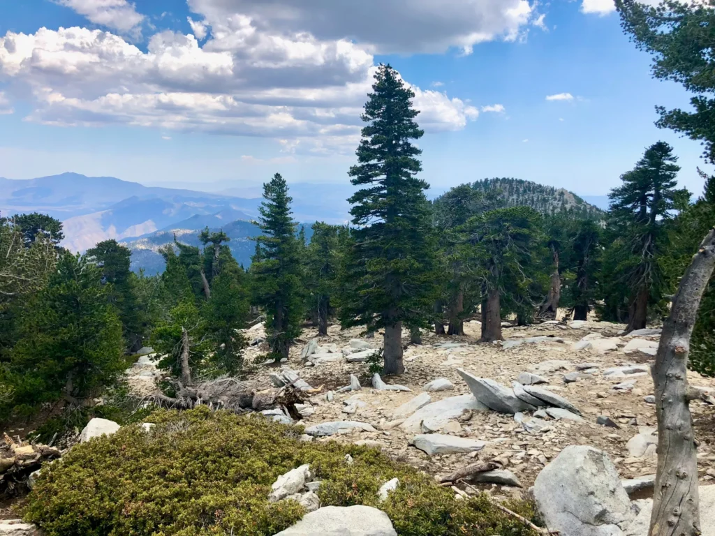
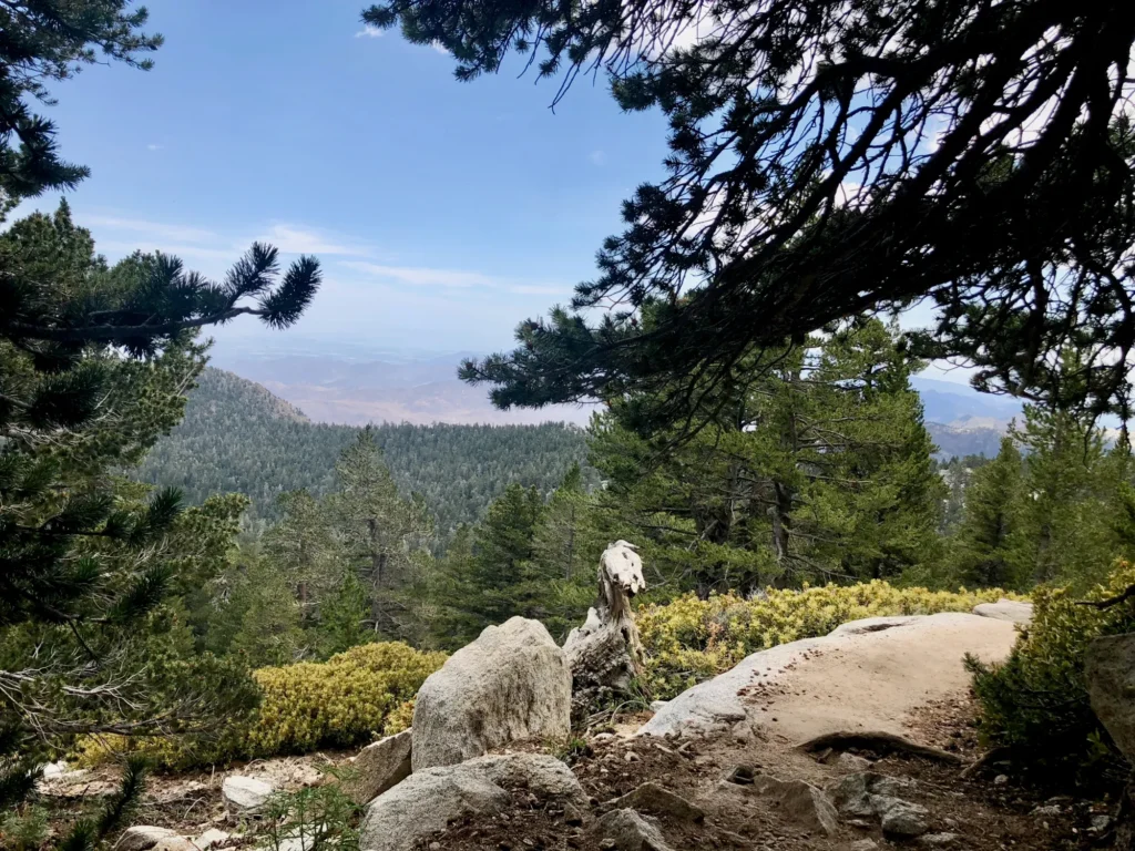
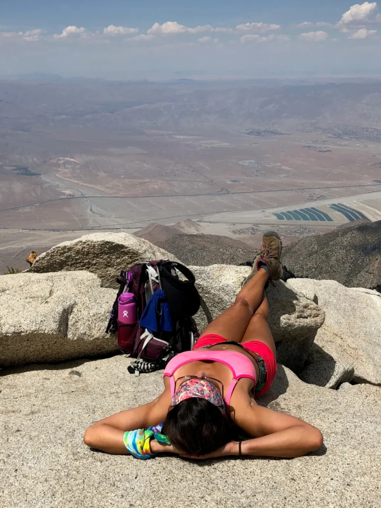
- Views: Catalina Island, San Gorgonio, and the Salton Sea on clear days

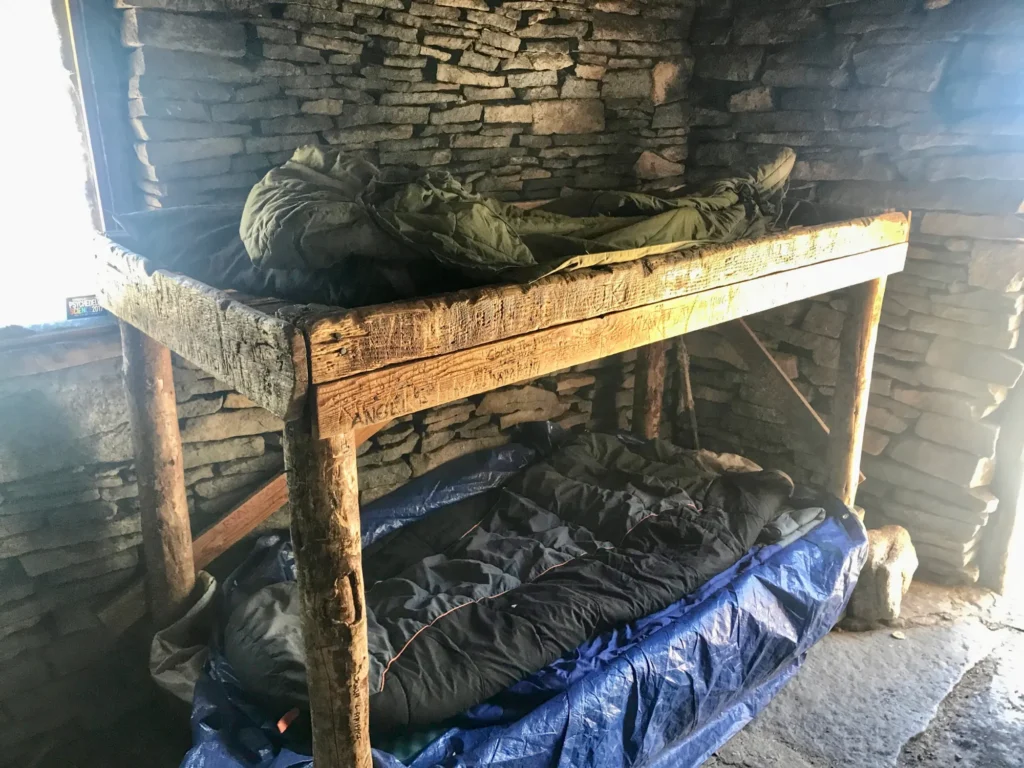
San Jacinto Summit Hut: Shelter for Hikers
Near the top of Mount San Jacinto, just below the summit, sits a small stone hut built in 1933 by the Civilian Conservation Corps. Step inside, and you’ll find a rustic but solid shelter with a few bunks, emergency sleeping bags, and sometimes even extra water left by thoughtful hikers. The San Jacinto Summit Hut serves as a lifesaver when unexpected storms roll in or temperatures drop suddenly at 10,000 feet. It’s not intended for overnight stays or camping, but it offers protection from high winds, lightning, or snow while you regroup before or after your summit push. Bring your own layers and headlamp if you plan to rest there, as the hut has no lighting or heat—just timeless stone walls and a reminder of the mountain’s history.
Best Seasons and Weather for the Tram-to-Summit Hike
Spring through fall is the most popular. October brings cool air and fewer crowds. Even when the valley is hot, the mountain can be windy and cold. The summit may hold ice after cold nights—bring microspikes if temperatures drop near freezing.
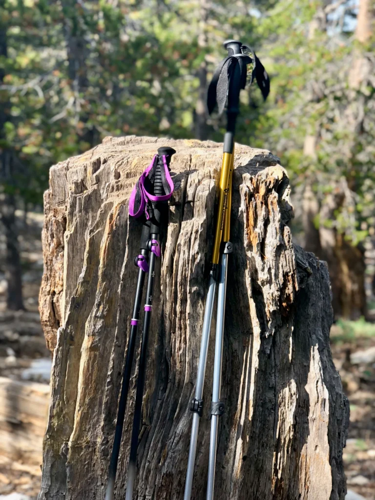
I always use collapsible hiking poles, especially on the descent—they help take the strain off my knees. Always check the high-elevation forecast, not just the valley weather: pack layers, gloves, and a warm hat.
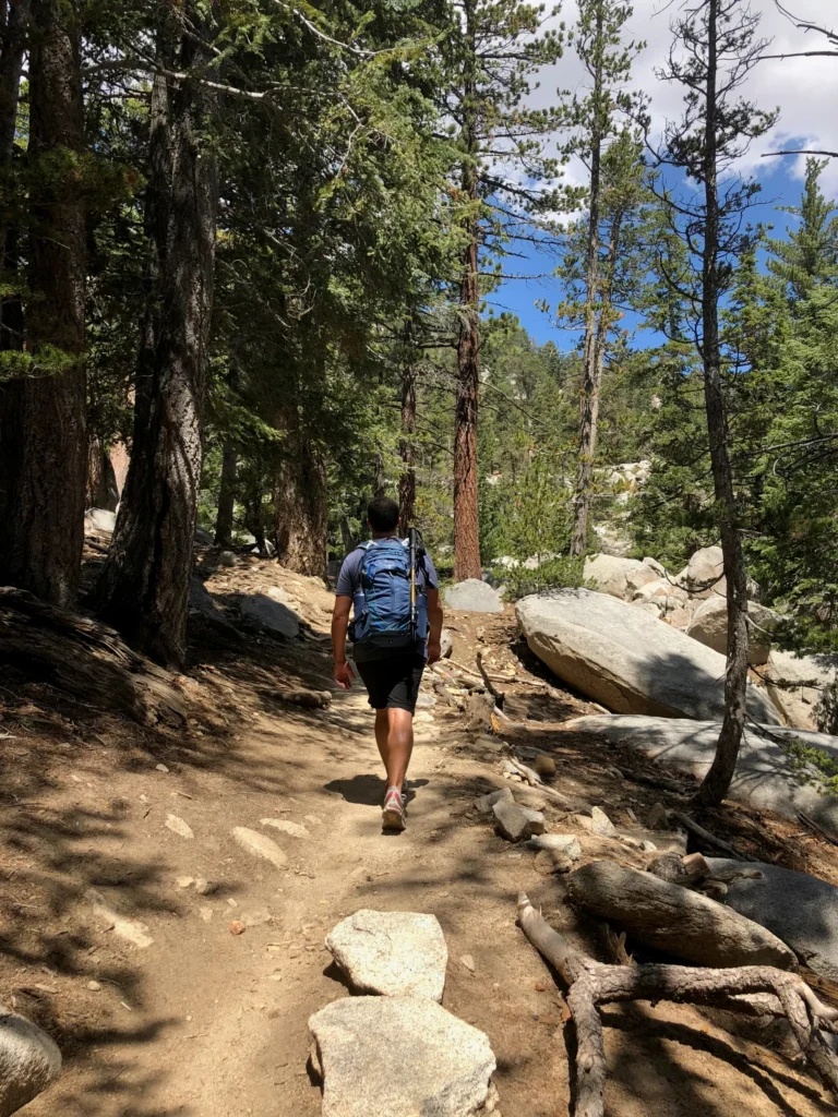
Turn-by-Turn Trail Guide: From the Tram to San Jacinto Peak
Mountain Station to Long Valley Ranger Station (~0.5 miles)
Follow the signs down into Long Valley. The path is wide and shaded by tall pines. Stop at the Ranger Station for your free day-use permit and restrooms.
Long Valley to the Junction (~1.1 miles)
Head toward Round Valley. The trail is gentle, crossing forested areas and open meadows. Keep your pace easy here to save energy.
Junction to Round Valley (~0.7 miles)
Continue uphill toward Round Valley—a scenic basin that makes an excellent spot for a snack or water break. During the colder months, expect to encounter some icy patches early in the morning.
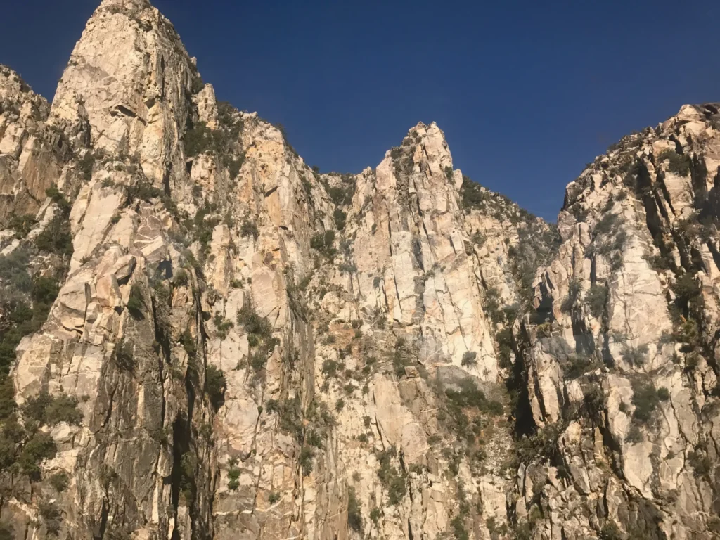
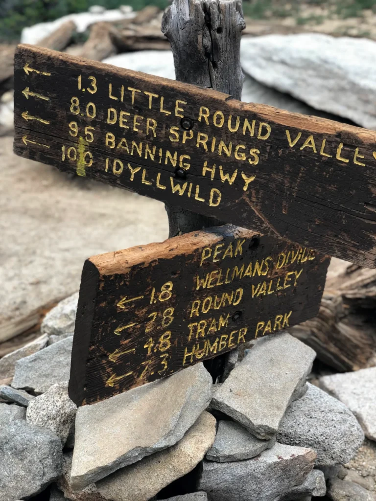
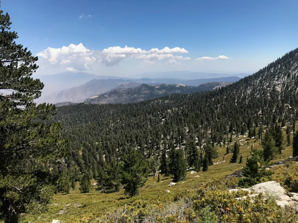
Round Valley to Wellman Divide (~1.3 miles)
The climb begins to steepen. Switchbacks lead through the forest with occasional lookouts toward Idyllwild and the Desert Divide. Enjoy this morale-boosting viewpoint!
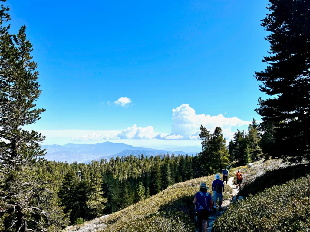
Wellman Divide to Summit Junction (~1.8 miles)
The trail grows steeper, with long grades and thinner air. Shorten your stride and keep a steady rhythm. Watch for Summit Junction signs.
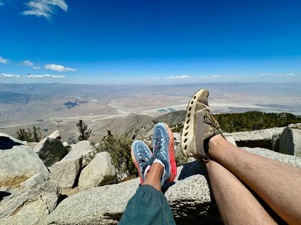
Summit Junction to San Jacinto Peak (~0.3 miles)
A short scramble over granite boulders leads to the top. Hiking gloves can help protect your hands. On clear days, you can spot Catalina Island far west and the Salton Sea below. Take your summit photo by the iconic San Jacinto Peak sign before heading down.

What to Pack for a Happy Summit Day
- Footwear: Grippy hiking shoes or boots + wool socks
- Layers: Breathable base, warm mid-layer, wind shell, light hat, and gloves
- Traction: Microspikes in late fall or after cold nights
- Navigation: Offline map, phone charger, or GPS
- Water: 2–3 liters
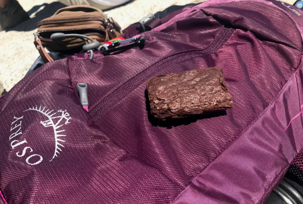
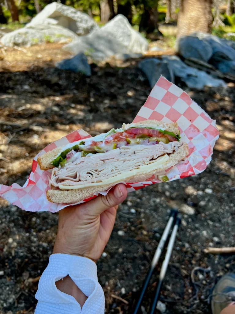
- Snacks: Fuel that’s easy to eat on the go
- Sun Kit: Sunglasses, sunscreen, lip balm
- Poles: Helpful for the descent
- Essentials: ID, credit card, cash, first aid kit, and headlamp
See my complete 10 hiking essentials guide for detailed gear suggestions, including a tiny camera I love to travel with – hint, it captures 360 views!
Smart Timing and Pace Tips
- Take an early tram—before 9 AM when possible.
- Budget 5–6 hours of hiking plus time for breaks.
- Keep a 1-hour buffer before the last tram down.
- Eat and hydrate regularly—snack every 45 minutes to stay energized.
- Use short, steady strides to manage altitude and conserve energy.
If winds pick up near the top, add layers before the final ascent.
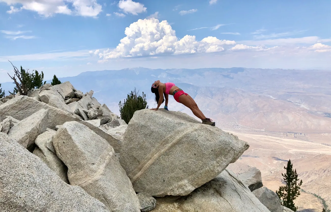
Why We Hike Mount San Jacinto Again and Again
No matter how many times we reach the top, the Mount San Jacinto summit always feels like an accomplishment. The route is challenging yet accessible, offering alpine air and incredible views without the extreme climb from the desert floor. For us, it’s the perfect mix of effort and reward—a day of nature, movement, and connection. Afterward, we celebrate with a good meal, a glass of wine, and maybe a spa day.If you’re ready to breathe cool mountain air and stand above the desert floor, the Palm Springs Tram-to-Summit route delivers one of Southern California’s most rewarding adventures.
Hi, I’m Phoebe Chongchua—founder of Live Fit Magazine. I created this space to blend my love of travel, storytelling, and wellness into one curated destination. Live Fit is about living well in every sense—exploring new places, staying curious, and finding balance on the road and at home. I’m especially drawn to immersive, active travel—think hikes with a view, bike rides through wine country, and experiences that connect you to a place and its people. Thoughtful, luxurious travel, good food, and a touch of style—that’s what Live Fit Magazine is all about.